/ What we believe
We need to rethink how humans relate to volcanoes, redraw the boundaries, and bridge the divide
We share a dream: to showcase and promote the culture surrounding volcanoes.
STOP Overtourism
We believe in tourism that is balanced, widespread, and responsible: harming the environment is not inevitable, it is a choice.
Volcanological Guide
The mountain belongs to everyone, but it is not for everyone: we strongly believe in free access and enjoyment. We are useful, but not indispensable.
OFF
Health apps, step counters, GPX tracking apps, heart rate apps, oxygen saturation apps: enough already!
Learning to walk
against the tyranny of performance, speed, and the daily targets on the smartwatch — is a political stance.
"Try again, you might be luckier."
Forget the destination and enjoy the journey, like road trips with friends: you don't remember where you were going, you remember that you were happy.
Sharing
the experience, the moment, that day with those who walk beside you: lend a hand on a tricky section, smile and wait for the last person in the group, help carry a backpack that is too heavy.
Summit craters - round trip by 4x4 + hiking
The excursion to Etna's summit craters represents the top of the discovery of our volcano. The ascent to the summit area takes place, in a first phase, through the use of 4x4 vehicles that will travel along the '702 - Crateri Sommitali' path, gradually ascending in altitude in one of the three areas of greatest volcanological fragility in Etna's volcanic system, along the so-called Northeast Rift. The exact starting point of the 4x4 vehicle is indicated a few days before your excursion and can be either the CAI Salvatore Citelli Refuge or the Piano Provenzana ski resort (the distance between the two meeting points is negligible, about 10 minutes by car). The ascent by vehicle is an easy way to reach the high altitudes, understanding the evolutionary and volcanological dynamics of a landscape that changes with every bend: extinct craters, lava flows and the remains of tourist structures covered by previous eruptive activity are revealed, curve after curve, until an altitude of around 2,800 metres is reached (depending on the weather and volcanological conditions, this altitude can vary and be between 2,800 metres and around 3,000 metres).
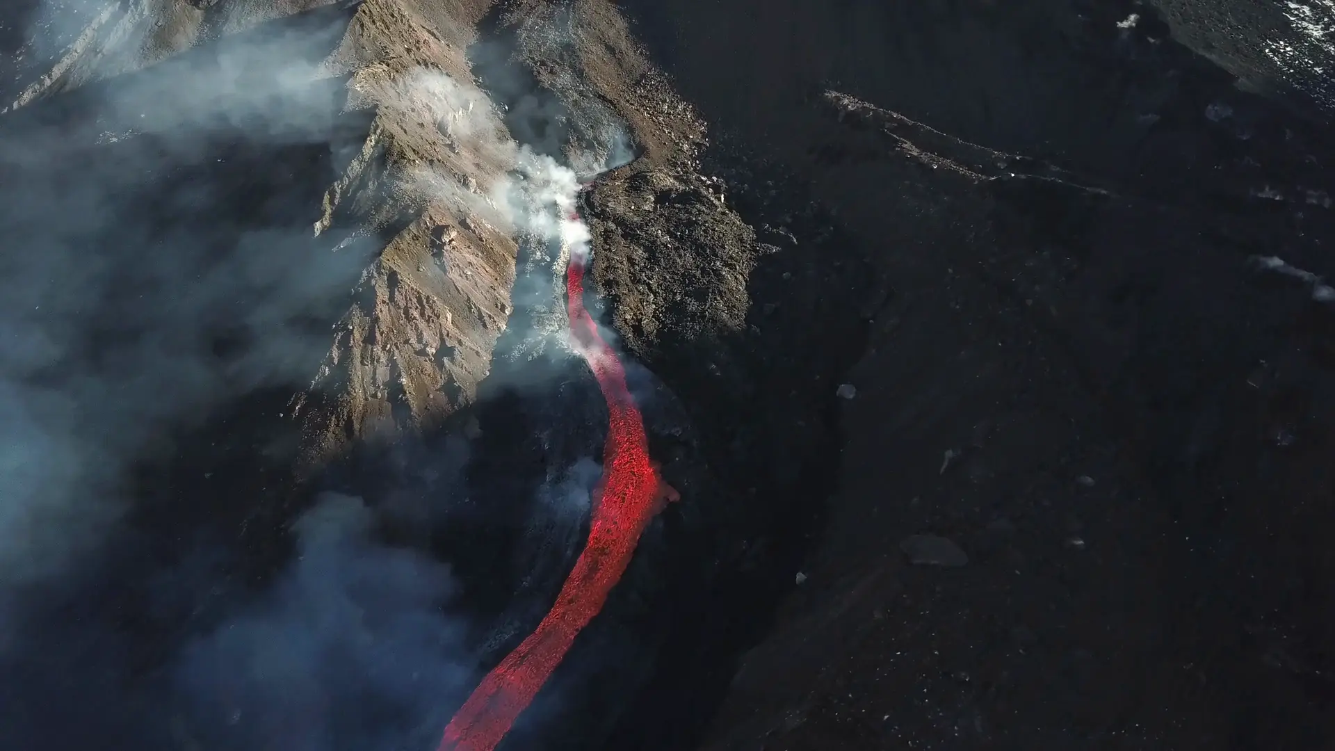
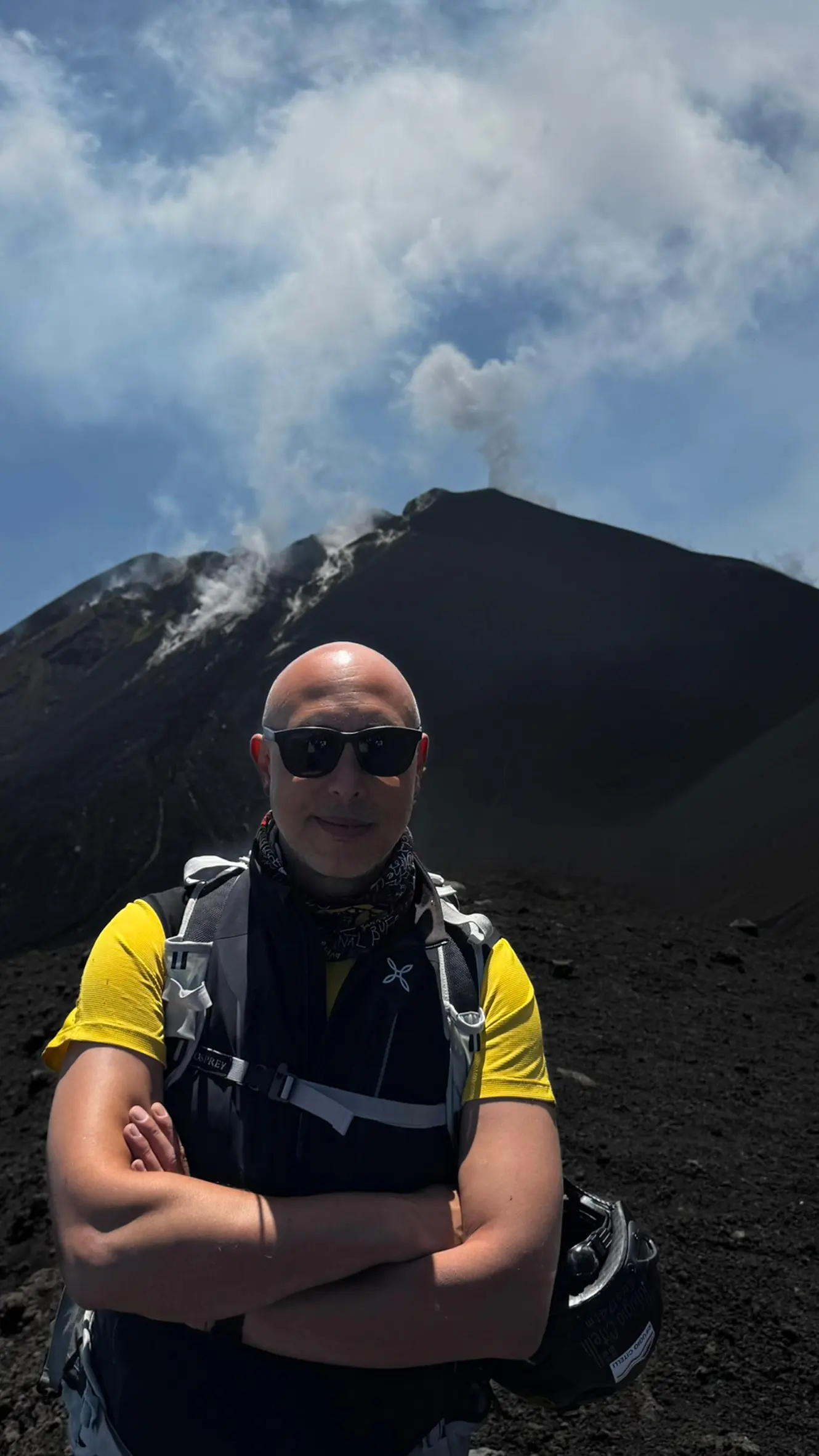
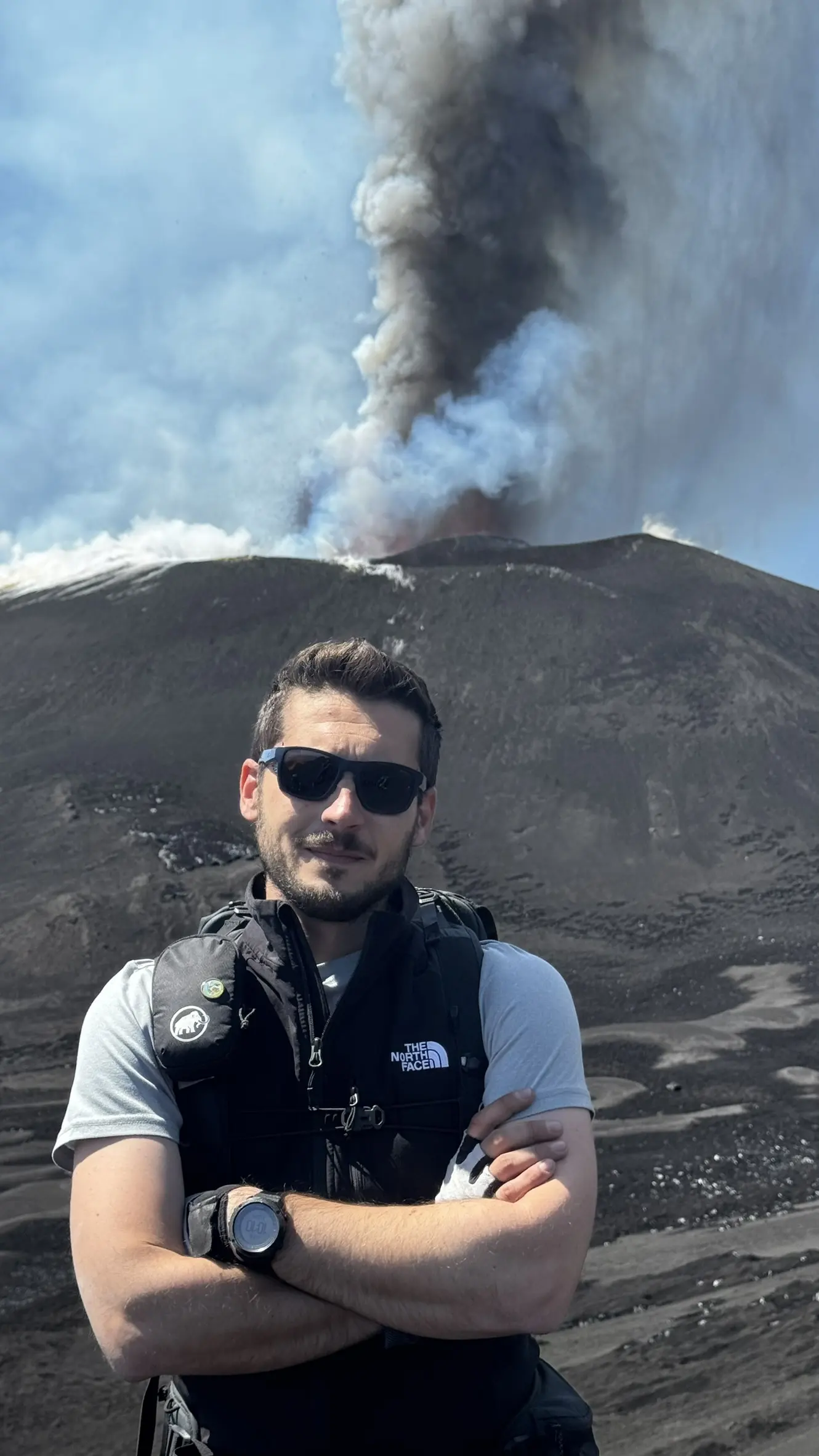
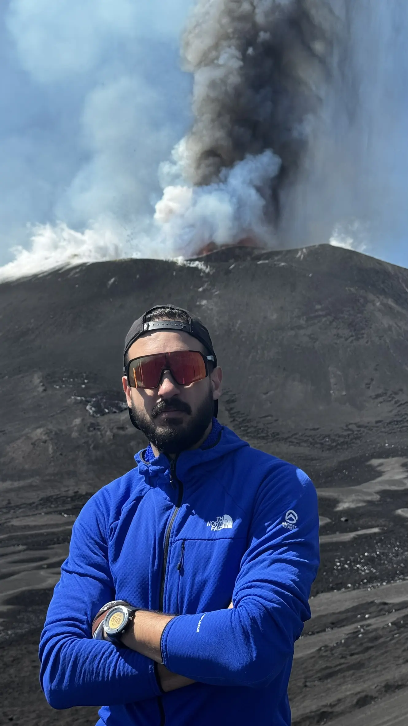
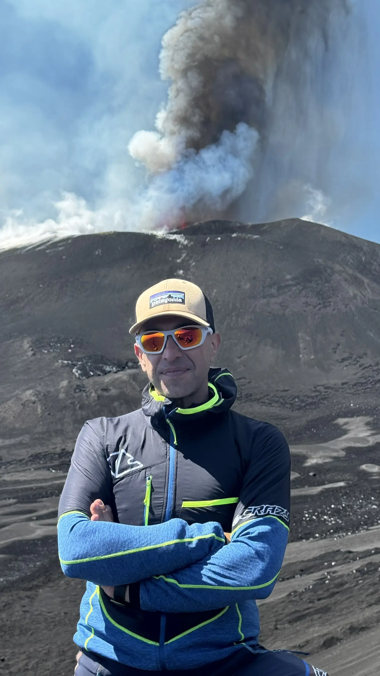
The second phase, which includes hiking to the summit cones, begins after reaching the Pizzi Deneri volcanological observatory: a unique high-altitude laboratory, built between 1975 and 1978 in an area free of the risk of lava invasion in the high morphological area known as Pizzi Deneri. The hike to the summit of the volcano continues on foot along the path that the volcanological guide will deem most suitable based on the weather-volcanological conditions and, not least, the condition of the group. The summit currently has four summit craters: the Voragine crater, protagonist of the spectacular paroxysms of the summer of 2024, which elevated it to Etna's new highest peak at 3403 metres; the Bocca Nuova crater, adjacent to Voragine, which is part of the central crater system; the South-East crater, formed in 1971 and protagonist of the sixty or so paroxysms of 2021; and finally the North-East crater, formed in 1911. The complex system of crater terraces will be visited with the respect due to it and at the times set by the guide, leading the group on an itinerary aimed at understanding a unique place in the world's volcanological context.
After exploring the summit cones, the group will follow the sandy gullies that lead down an easy descent toward Piano delle Concazze at an altitude of approximately 2,800 meters. This is a volcanic plateau formed by the caldera collapse of the Ellittico volcano, whose remains define the contours of the northern ridge of the Valle del Bove. In this otherworldly landscape, the 4x4 vehicles from the morning will pick up the group and take them back along Trail 702 to Piano Provenzana.
*The total cost of your hike is € 130, including € 50 per person for 4x4 transportation.
** Upon request, it is possible to arrange a meeting point with the guide at an altitude of 2,900 meters, avoiding the 4x4 (recommended only for experienced hikers).
included
- Helmet for high summits and/or cave visits
- Headlamp (cave visits / night hiking)
- Neck gaiter for volcanic gases and dust at altitude
- Trekking poles
- Long hiking trousers (on request)
- Down jacket (on request)
not included
- Windproof jacket/shell (2 or 3 layers)
- High-ankle trekking boots (rental €5/7)
- Hiking backpack 20–25 L
- Technical mid-layers in cotton or merino wool
- Long socks (technical preferred)
- Gloves
- Essential medication (personal conditions)
- 1.5 litres of water
- Sunscreen
- Lip balm
- Sunglasses
- Snacks
The programme may vary during the day due to unpredictable weather and volcanological conditions. Our hikings, due to the altitude and physical effort required, are not permitted for people with cardiac problems, respiratory conditions or health conditions that do not allow prolonged exertion at altitude. You are strongly advised to inform the guide when booking.
Summit craters - solo hiking
"In our times there is no other risk for foreigners [...] than to be attacked and dispossessed by pitocchi, guides and hosts; proof also that this corner of the Etnean regions is the frequent aim of scientific pilgrimages by northern Europeans. [...] On the following night I had to begin my ascent of Mount Etna."
In describing the ascent par excellence on our volcano, the one with the aid of one's own strength alone, one cannot help but go back in time to the 17th century, to the 'Gratissima', to Torre del Filosofo, to the Gemmellaro and the first 'northern Europeans' who laid the foundations for today's science of volcanoes, accompanied by local guides 'shepherds, hunters, woodcutters who knew well the pitfalls and routes of such a varied and vast territory'.
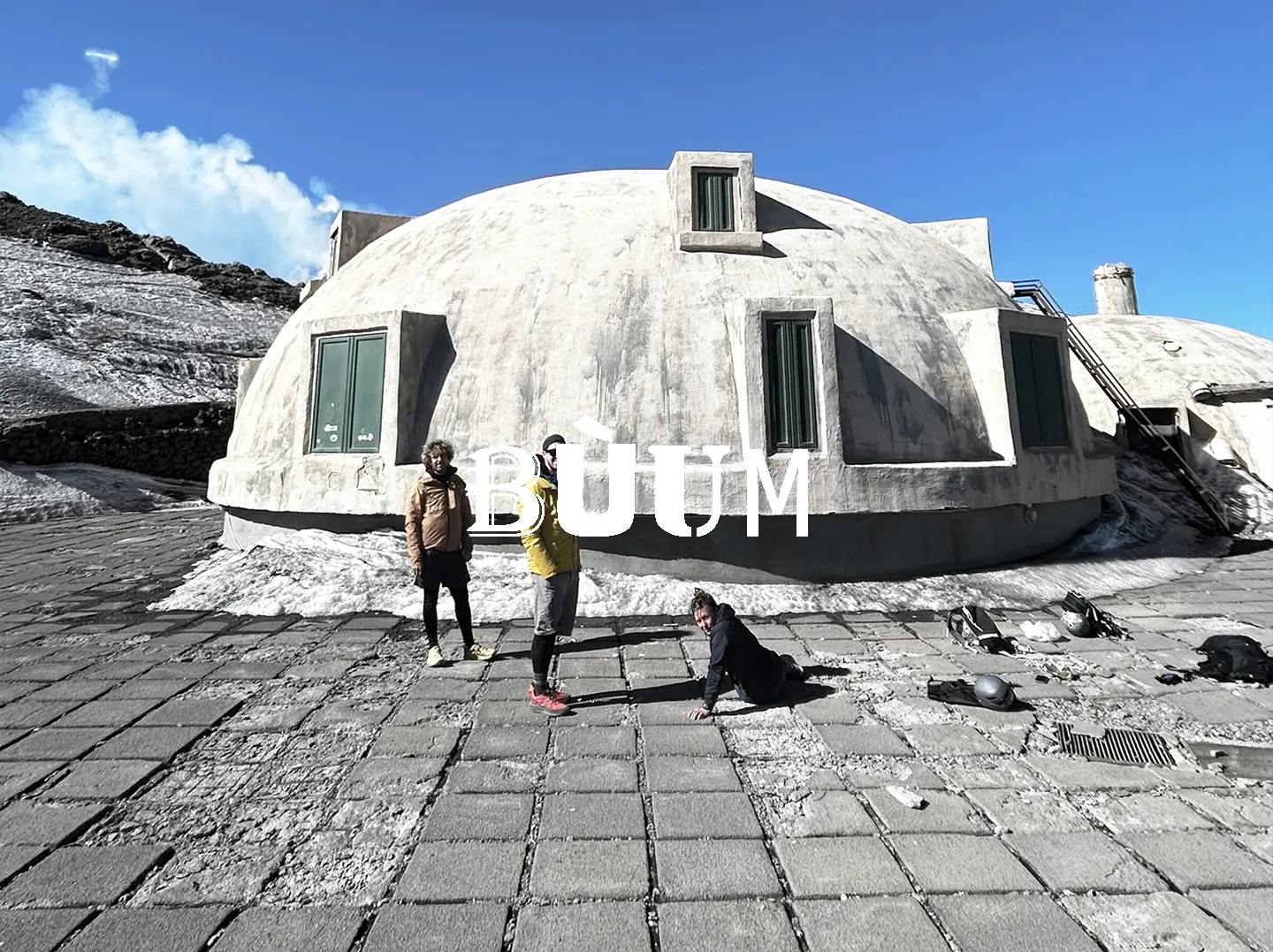
The ascent of Etna is, for us, as exciting as it was then: our starting point is Rifugio Citelli, which since the 1930s has been the last shelter before the attack on the volcano's summit. From here we begin to walk along the first part of the path inside the Aetnensis birch forest, retracing the path 723 in the opposite direction, along part of the crater edges of the 1928 eruption. Continuing on, we reach the vantage point on the north ridge of the Valle del Bove, at an altitude of about 2300 metres, from where it is possible to get a first glimpse of the volcano's summit craters, only 4 km away. The trek follows the valley ridge to the Pizzi DeNeri volcanological observatory, the world's highest volcanological garrison located at an altitude of 2800 metres above sea level. Throughout your ascent, you will be able to understand the formation mechanisms of numerous crater cones within the Valle del Bove, the overlapping of flows, with the most recent ones clearly visible and the Gulf of Catania in the background, gradually becoming sharper.
From Piano delle Concazze, the ascent towards the summit of the volcano with its four active craters begins: the Voragine crater, protagonist of the spectacular paroxysms of the summer of 2024 that elevated it to Etna's new highest peak, with its 3403 metres; the Bocca Nuova crater, adjacent to Voragine, which is part of the central crater system; the South-East crater, formed in 1971 and protagonist of the approximately sixty paroxysms of 2021; and finally the North-East crater, formed in 1911 of the last century. Constantly changing, amidst collapses, evident fracture fields and constant fumarolic activity, the visit to the summit craters cannot be described in detail because of its perennial changing character. Once we've reached the summit and taken it all in, we begin our descent along the side craters and the sandy slopes of pyroclastic deposits. The “return journey”—with the taste of sulfur still lingering in our throats—is, in fact, another hike with the Tyrrhenian Sea and the entire northern coast of the island stretching out below us, as we head toward the end of an incredible day.
included
- Helmet for high summits and/or cave visits
- Headlamp (cave visits / night hiking)
- Neck gaiter for volcanic gases and dust at altitude
- Trekking poles
- Long hiking trousers (on request)
- Down jacket (on request)
not included
- Windproof jacket/shell (2 or 3 layers)
- High-ankle trekking boots (rental €5/7)
- Hiking backpack 20–25 L
- Technical mid-layers in cotton or merino wool
- Long socks (technical preferred)
- Gloves
- Essential medication (personal conditions)
- 1.5 litres of water
- Sunscreen
- Lip balm
- Sunglasses
- Snacks
The programme may vary during the day due to unpredictable weather and volcanological conditions. Our hikings, due to the altitude and physical effort required, are not permitted for people with cardiac problems, respiratory conditions or health conditions that do not allow prolonged exertion at altitude. You are strongly advised to inform the guide when booking.
Around the summit - 3000 meters
Approaching a summit always requires several steps of physical and mental acclimatization, primarily due to the lack of oxygen, but also to take the time to understand where you are going. Hiking “around the summit” is a celebration of this place of passage towards the summit craters, discovering all the places that surround them. Our hike starts from Montagnola at about 2,500 metres above sea level and then approaches Piano del Lago, a well-known volcanic plateau on which the lateral cones of the 2001 and 2002 activity are grafted, certainly the most eventful two years in the recent history of the volcano.
Together, we will understand the scenarios that led to the formation of the Lake Crater, an enormous cone measuring approximately 90 metres formed in 2001, and the Barbagallo Craters, dating back to the fall of 2002, responsible for the disappearance of Torre del Filosofo, the most important historiographical reference point for our volcano since the days of the first Grand Tours and the first ascents on donkey back in the 19th century. We will travel far and wide across the high altitudes, discovering Cisternazza, part of the 1792 activity, and then gaze out over the immense Valle del Bove, a huge morphological depression to the east of the volcano, the scene of many lateral eruptions over the last century and a unique landscape on Etna.
The route ends after about 5 hours at the same starting point, where we will then retrieve our means of descent to the Sapienza Refuge at an altitude of 1,910 metres a.s.l.
Our high-altitude hike allows you to safely explore one of the most picturesque spots on the volcano, reaching the starting point via the Etna cable car or simply on foot (to be arranged when organising your hike and subject to prior notification to the guide). It is a circular route of approximately 10 km, taking around 5 hours to complete, of moderate difficulty, with no technical sections and no need for mountaineering equipment. Suitable for groups and families in its various formats (starting from 2,500 or 1,900 metres, entirely on foot); the cable car fare of €54 per person covers travel from Rifugio Sapienza to the cable car station, including return journey.
*The cable car ticket is EXCLUDED from the price payable to BÙUM GVI.
included
- Helmet for high summits and/or cave visits
- Headlamp (cave visits / night hiking)
- Neck gaiter for volcanic gases and dust at altitude
- Trekking poles
- Long hiking trousers (on request)
- Down jacket (on request)
not included
- Windproof jacket/shell (2 or 3 layers)
- High-ankle trekking boots (rental €5/7)
- Hiking backpack 20–25 L
- Technical mid-layers in cotton or merino wool
- Long socks (technical preferred)
- Gloves
- Essential medication (personal conditions)
- 1.5 litres of water
- Sunscreen
- Lip balm
- Sunglasses
- Snacks
The programme may vary during the day due to unpredictable weather and volcanological conditions. Our hikings, due to the altitude and physical effort required, are not permitted for people with cardiac problems, respiratory conditions or health conditions that do not allow prolonged exertion at altitude. You are strongly advised to inform the guide when booking.
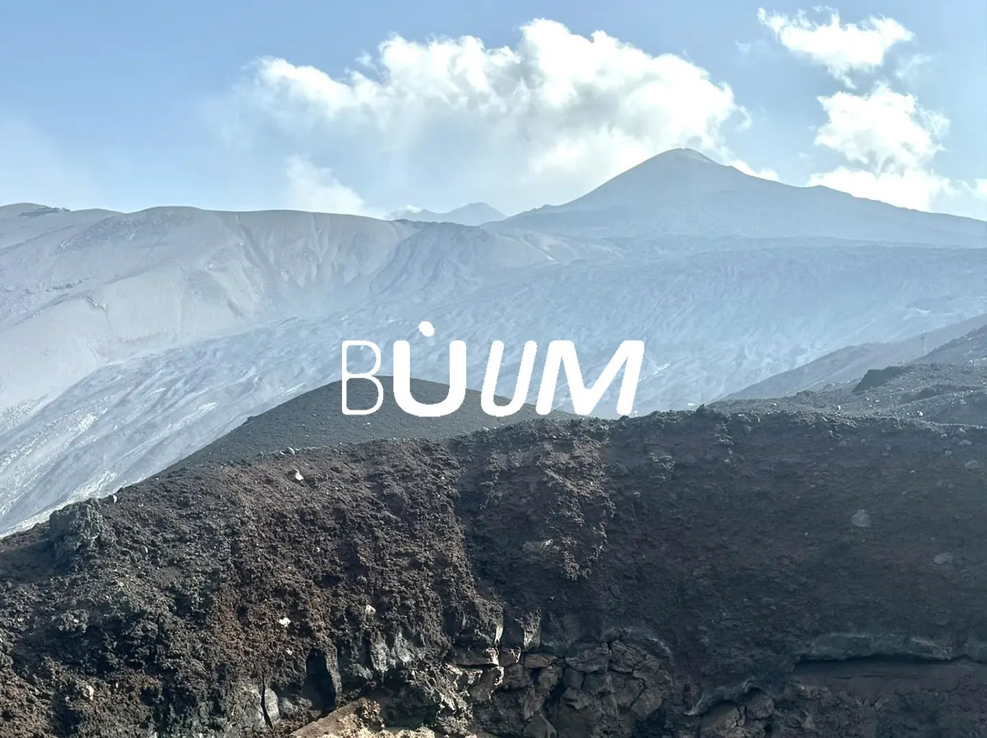
/ WHAT
BÙUM trails
discover our hikes
/ ETNA NORTH
The Sartorius Mountains
The perfect hike for kids, families, lazy people, total beginners, older adults, team building, and anyone who doesn't have time to break a sweat. Educational, easy, and close to the road. Is it good or not?
/ ETNA NORTH
Serracozzo, the north ridge
One of the most iconic trails on northern Etna, exploring lava-flow caves, Betula aetnensis forests, and the enormous Valle del Bove: are you sure there's nothing worth seeing lower down once you leave the summit behind?
/ ETNA WEST
The forgotten Rift
F**k overtourism: let's discover the less-traveled side of the volcano, with side craters, 1600s lava flows, and remote bivouacs. If you're more into aperitifs, beers, and comfort, this hike is probably not for you!
/ ETNA NORTH
4 centuries in 8 hours
From the NE Rift to the pāhoehoe lava flows, the “Monte dei morti”, stunning forests, the “Grotta del Gelo”, the Aeolian Islands in the background – lost in the far north of the volcano until sunset (on the way back) over the 2002 craters. Stunning!
/ ETNA NORTH
Pizzi Deneri Observatory
A hike designed for those who want a real challenge: a 1,000-metre climb to the volcanological observatory at Piano delle Concazze. Oh, and I almost forgot: it overlooks the Valle del Bove!
/ WHAT
Media
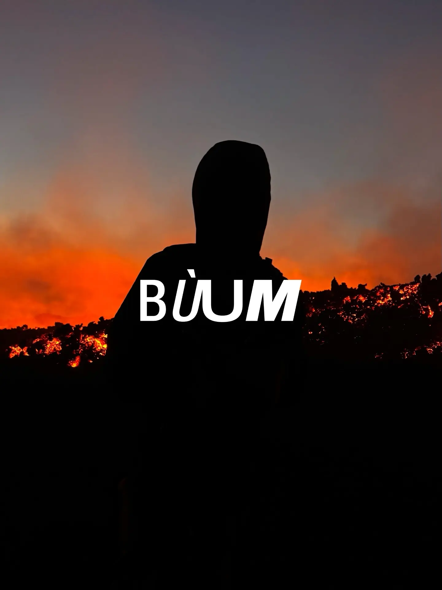
BÙUM is the onomatopoeia of a volcanic blast, when emotion makes you jump.
BÙUM is a choice of guides who dream at night of roars, lava flows and eruptions.
BÙUM is us, do you want to be part of it?


%20durante%20l_attività%20subterminale%20di%20agosto%202025.webp)


/ WHO
Team
Daniele
Co-founder of BÙUM - GVI
Passionate hiker of mountains and volcanoes, mountain rescue operator, former manager of Rifugio Citelli, climber for over a decade, dad and former IT professional.
When BÙUM - GVI needs to call the accountant, handle grown-up stuff, or run the numbers, Papo is our man.
Alessio
Co-founder of BÙUM - GVI
Volcanological Guide, former architect turned rebel, illustrator, creative, Social Media Manager, avid reader; after the pandemic he left Paris to marry the volcano.
When BÙUM - GVI handles COM, SMM, BRAND, or all kinds of GRAPHICS, Pres. is our man.
Mirko
Co-founder of BÙUM - GVI
Volcanological Guide, former volleyball player, geologist, volcanologist at INGV Palermo, passionate about astrophysics, science, and flight simulators.
When BÙUM - GVI needs to organize a party, play music, or cause some chaos, Zez is our man.
Sammy
Co-founder of BÙUM - GVI
Volcanological Guide, stage director and stage technician, traveler, has explored the world through deserts, mountains, and salt lakes with tent and sleeping bag in a 4x4.
When BÙUM - GVI has to plan a trip, a bivouac, or an Atlas crossing in the desert, Samir is our man.
Manifesto
/ WHY
Alessio, Daniele, Mirko and Sammy: we are a company of enthusiasts and Volcanological Guides specialized in accompanying people on Italian volcanoes, especially Etna. We combined our skills and our drive to build a shared dream: telling the volcano by guiding with method and passion the thousands of hikers who come every year to discover this territory, spreading a volcano culture that allows people to know, share and protect it. We believe in responsible, widespread and balanced tourism that takes time to look before taking pictures.
We love wasting time: in front of a bivouac fireplace, over a geological map, commenting on an old photo, or watching an unexpected paroxysm together. We believe in travel, not teleportation: the route is what makes the goal desirable; the time spent struggling uphill is what gives value to where you are heading, and if you have to give up, that is fine too. Guiding means talking, telling stories, smiling, inspiring, helping and getting to know people; we are nourished by people, you are our journey and, in a mutual exchange, we learn from you.
We like walking for hours, uphill and downhill, talking about these black mountains that are always different: here everything changes, everything trembles, everything will (sooner or later) end up exploding. We believe a strong and authentic memory is worth more than 100 photos: once your smartphone battery is dead, the mountain we love begins. Tourists are not the problem, they can solve it: take the time to wander through the woods, trust a friend's word of mouth not a review, listen to those who tell stories on the edge of an extinct crater, not those who organize trips remotely.
This is our tourism "package".
This is BÙUM - GVI.
/ What they say
/ our partners


/ FAQ
Frequently asked questions
/ LET'S TALK
Want to propose something?
No purchase required, at most the beer is on you :D